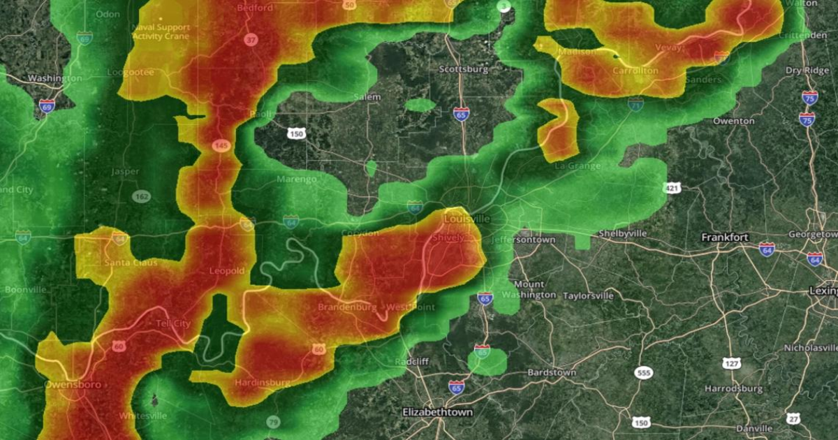
LOUISVILLE, Ky. — Communities in Kentuckiana are bracing for the risk of severe weather, including possible tornadoes, Wednesday night.
A Tornado Watch has been issued for a large swath of Kentucky and southern Indiana until midnight EST.
As the cold front approaches from the west, scattered showers and thunderstorms will develop after 5 p.m.
The strongest storms will likely pass through Kentuckiana between 7 p.m. and midnight, before continuing to weaken while moving eastward.

Download the free WHAS11 app to watch live coverage during severe weather and get real-time weather alerts, even if your power goes out. For Apple or Android users.