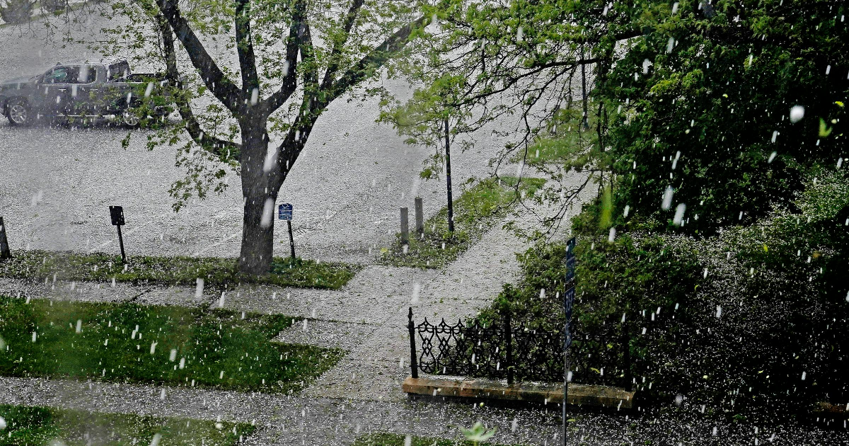
The National Weather Service is advising Twin Cities residents to have plans in place in case they need to take shelter on Monday due to a threat of strong thunderstorms and tornadoes.
There is threat of severe weather on Monday throughout Minnesota, with the highest risk in the southern and eastern regions, as well as north to St. Cloud and west past Mankato. Storms could come in two rounds, with a potential for tornadoes in the afternoon and evening, according to the National Weather Service.
Thunderstorms are expected to form Sunday night into early Monday morning. During the early commuter hours, storms could move across Interstate 94 and the Twin Cities metro, with a chance of damaging hail and strong wind, said meteorologist Tyler Hasenstein.
The first round of storms, Hasenstein said, could move north and northeast, giving the Twin Cities a break by 10 a.m.

In the afternoon and evening, there is a risk of a second, more dangerous round of storms with the potential for tornadoes.
“The main concern for the second round is stronger individual supercell thunderstorms that can produce large hail, wind and tornadoes,” Hasenstein said. “Any storms that do manage to form will be quite strong.”
Thunderstorms could continue in the evening, Hasenstein said, as a cold front may sweep through the region.
“If you don’t have adequate shelter where you live or work, have an idea in your mind where you should go before storms arrive,” Hasenstein said. “It will be important to react quickly if these storms do form.”