DALLAS — We’re tracking the latest forecast and weather updates on the WFAA+ streaming app. Don’t have WFAA+? Here’s how to download and install the app on your smart TV.
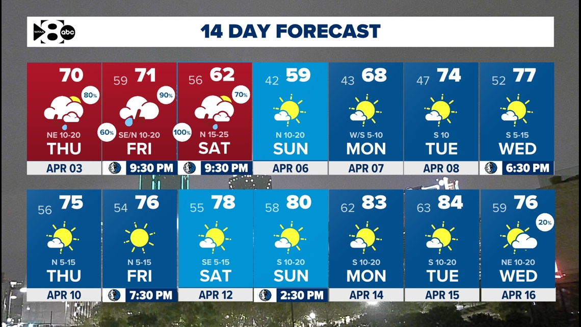
- WFAA Weather Alert Days for Thursday, Friday and Saturday
- Stormy pattern ahead
- Severe weather possible
The pattern is looking unsettled this week with daily rain and storm chances, primarily in the morning. We will have a series of storms this week with plenty of instability in the atmosphere to work with to produce strong to severe storms.
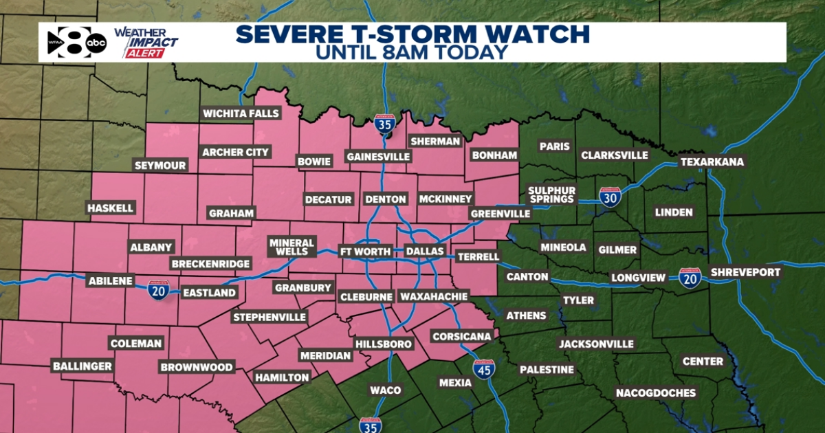
Storms have arrived Thursday morning. Up to golf ball size hail & some 60+ mph wind gusts will be possible in a few storms. The tornado threat is very low, but not zero. That’s something we will closely monitor. Storms start southwest of DFW and then push east. Coverage will be higher along and north of I-20. Not everyone will see storms, not everyone will see severe weather. The strongest storms could produce up to golf ball size hail and 60+ mph wind gusts. Thursday afternoon will be drier, but a few showers will be possible in the eastern half of North Texas.

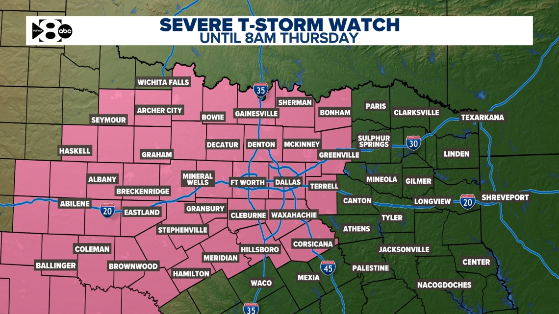

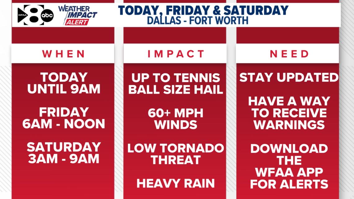
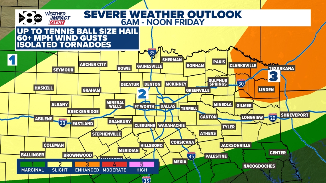
While on and off showers and storms could linger through much of Friday, the higher threat for severe weather will take place in the morning. The main threats will be large hail and damaging wind. We should work over the atmosphere quite a bit by Friday afternoon and evening that the severe threat will be significantly lower. Watch for areas of heavy rain that could lead to flooding.

Rain and storms will be ongoing Friday night into midday Saturday. The threat for severe weather will be low during this time but we can’t rule out isolated severe storms that could produce quarter size hail and gusts to 60 mph. The bigger impact will be the isolated flooding potential.

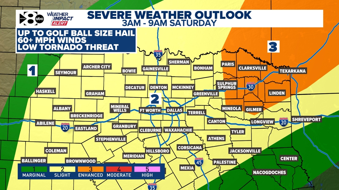
Friday and Saturday timeline:
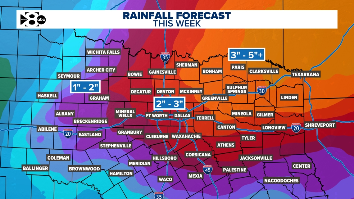
Several rounds of rain could very well bring a flood concern. DFW and surrounding areas could pick up over 2-3 inches of rain. Storms are still likely into Saturday early afternoon but the severe threat will be lower. We look dry by the end of the weekend.

